Our services
Photogrammetry Services
Photogrammetry aims to establish the geometric relationship between an object and a digital image, deriving essential spatial data exclusively from the image itself and offers cost-effective and precise spatial data collection, enabling detailed 3D modeling and analysis for various applications.
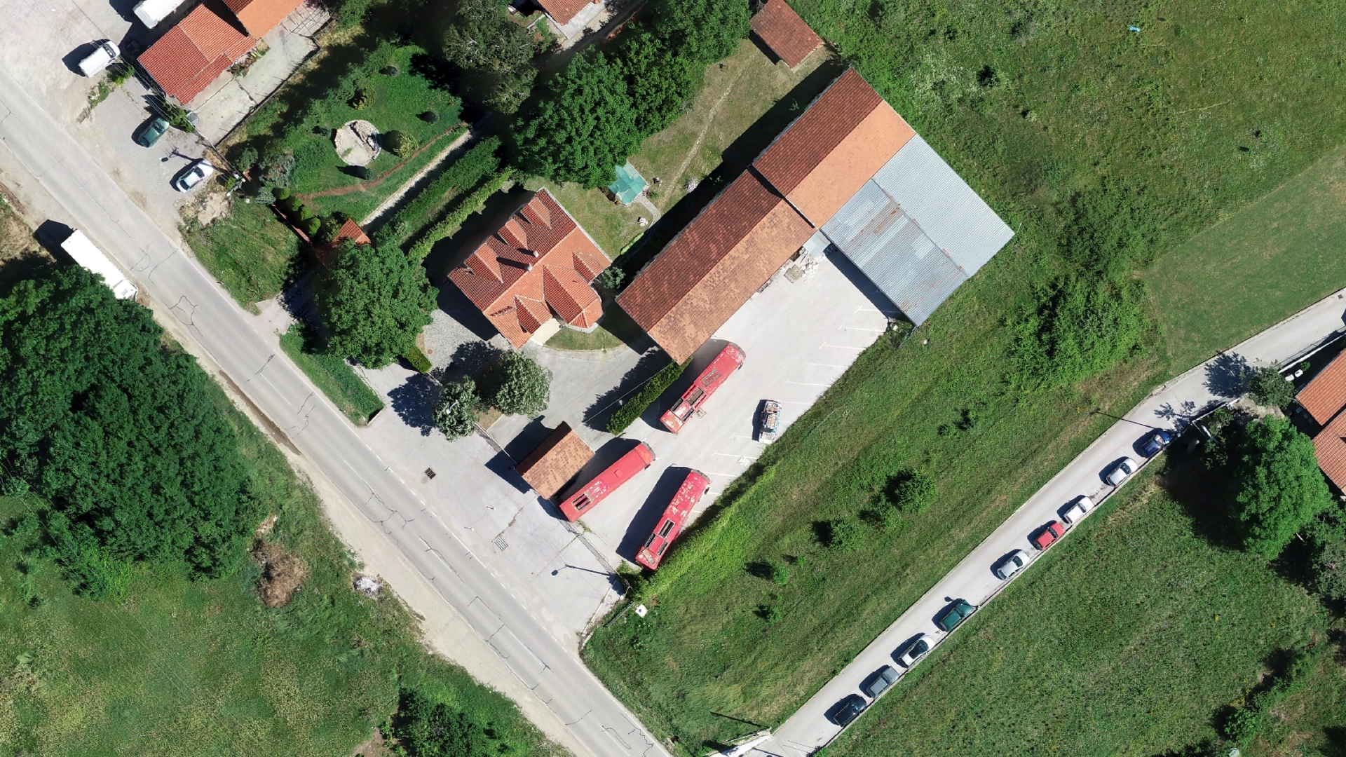
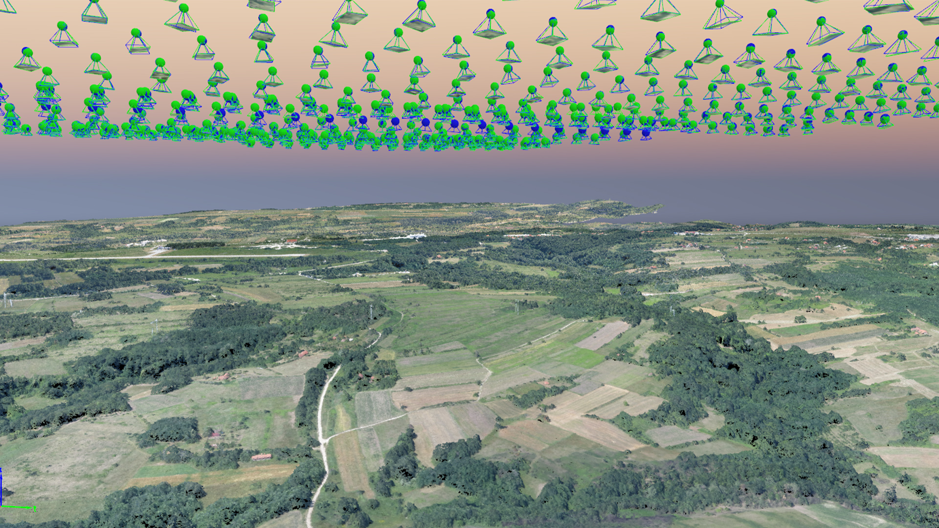
Aerial photogrammetry
Aerial photogrammetry using drones allows for efficient and accurate spatial data collection over large areas, making it invaluable for applications such as cartography, land-use planning, and environmental monitoring.
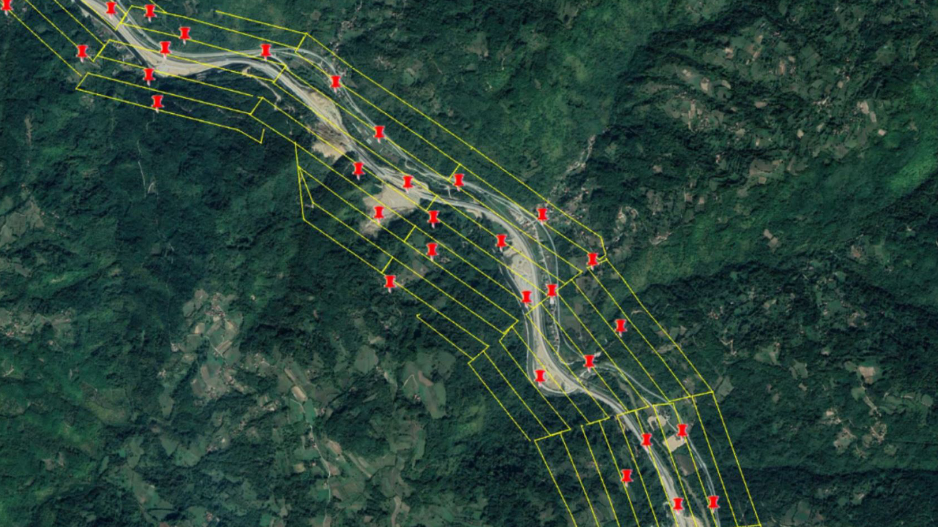
Aerial digital photogrammetry includes as well the following:
- Aerial Triangulation: Establishing relationships between image coordinate systems and ground projections.
- DEM and DTM Generation: Creating Digital Elevation Models and Digital Terrain Models.
- Digital Orthophoto Generation: Producing precise, measurable object images.
- Mosaicking of Digital Images: Combining adjacent images for a seamless final product.
Close-Range Photogrammetry
Capture spatial information of objects from a short distance, typically from the ground. This is ideal for applications such as building facades, monuments, and important objects.
Satellite Images Photogrammetry
Satellite images photogrammetry leverages remote sensing data from satellites to extract valuable spatial information, aiding in applications such as topographic mapping, hydrologic mapping, digital terrain modeling, orthophotos, and a wide range of other applications.


Need some help?
We enjoy professsional challenges and we are confident that we’ll find the best solution for our clients.