Our services
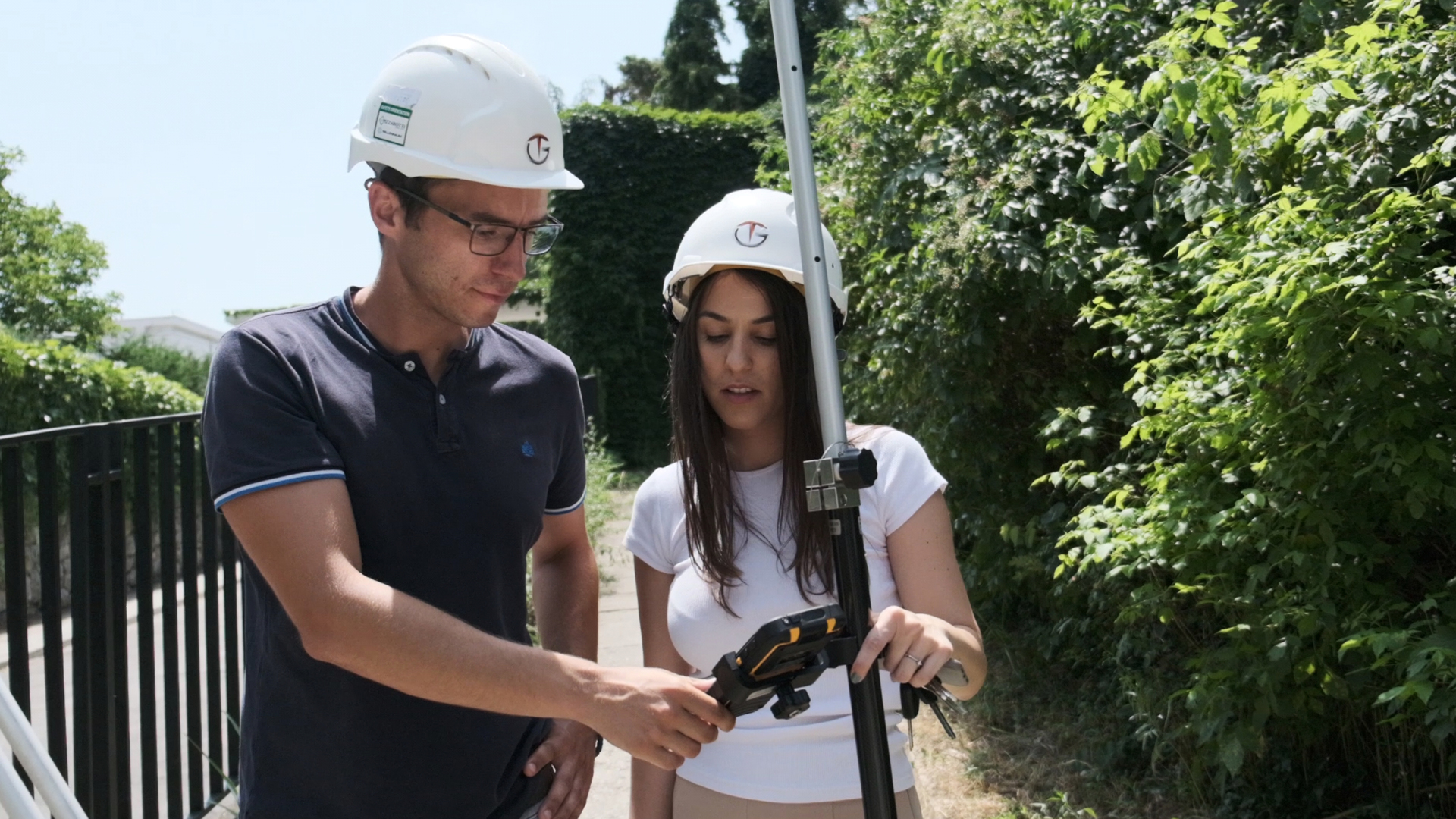
Land surveying
GEOTAUR offers a diverse range of solutions in the field of conventional land surveying. Our expertise covers various aspects of land surveying activities, ensuring accurate data acquisition and analysis for a multitude of purposes.
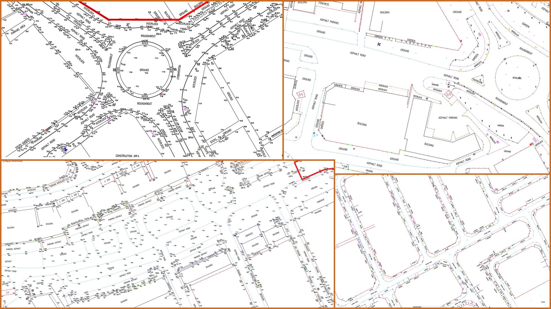
Topographical survey
Utilizing a combination of conventional and modern surveying equipment, we gather precise data for the creation of topographic maps tailored to different scales and applications.
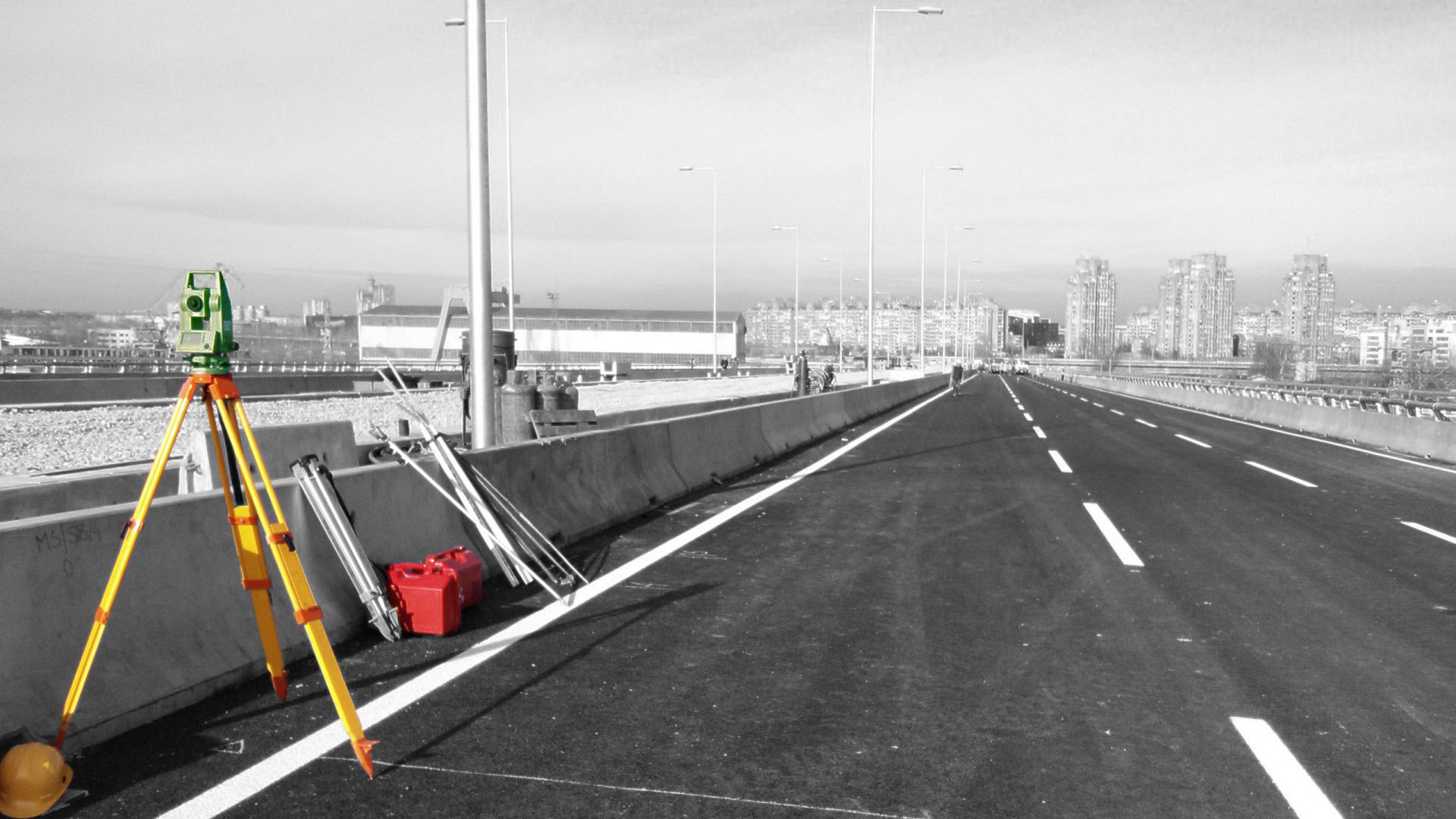
Construction and as-built surveying
Our services extend to infrastructure projects such as roads, railways, buildings, and dams. We provide comprehensive surveying support throughout the project lifecycle, including surveys of existing conditions, stakeout of reference elements, horizontal and vertical control on multiple levels, and as-built surveys.
Structural (deformation) monitoring
We offer systematic measurement and tracking of object deformations. Parameters like rotation, shifting, inclination, elevation, and torsion are calculated with precision. Our deformation data is rigorously assessed for statistical significance and checked against specified limits to identify potential risks.
Cadastral surveying
Resolve property boundary issues and discrepancies with our cadastral
surveying expertise. We analyze legal documents, official plans, and maps prepared by legal professionals, engineers, and surveyors to accurately determine and define property boundaries.
Mining, quarry and volumetric survey
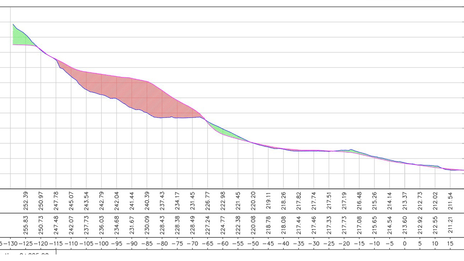
Determine volumes of stockpiles, excavation areas, quarries, mine shafts, embankments, and more. GEOTAUR excels in volume calculations, presenting data in various formats, including profiles, sections, colored grid maps, cut/fill tables, charts, and diagrams.


Need some help?
We enjoy professsional challenges and we are confident that we’ll find the best solution for our clients.