
Izrada geodetskog elaborata - Beograd
Pouzdana izrada geodetske dokumentacije za potrebe legalizacije (ozakonjenja), etažiranja i upisa prava svojine u katastar.
Licencirane geodete sa 15+ godina iskustva u geodeziji.
Smanjite rizik, oslobodite um, proširite poslovanje, uštedite vreme.
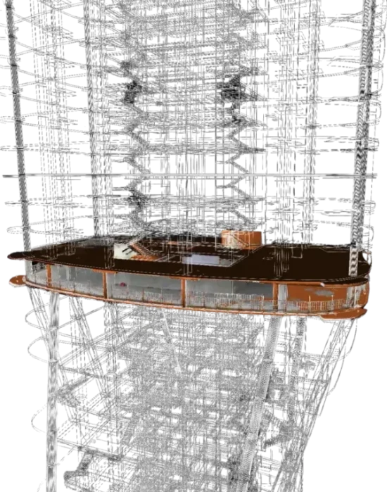
Uspešno rešavamo izazove 3D laserskog skeniranja bez obzira na veličinu projekta. Skeniranje, registracija point-cloud podataka, izrada detaljnih 3D modela, 2D projektnih planova, fasada i drugih inženjerskih crteža – sve je pokriveno!
Vaše skice, 2D crteže i point-cloud podatke pretvaramo u dinamičke 3D modele, obezbeđujući preciznost u prostornoj analizi, detekciji kolizija i podsticaj harmonične saradnje u okviru vašeg projektnog tima. Koristimo različita softverska rešenja za kreiranje inteligentnih 3D modela, u rasponu od LOD 100 do LOD 350.
Optimizujte procese na svojim projektima uz Geotaurovu ekspertizu u avio-lidaru i mobilnom laserskom skeniranju. Naša iskustvena rešenja za prostorne podatke, koja obuhvataju prikupljanje LiDAR podataka, ekstrakciju prostornih entiteta, izradu topografskih planova, analizu i digitalnu prezentaciju, smanjuju vaš obim posla, štede vam vreme i energiju i, na kraju, pomažu da vaše poslovanje napreduje.
O KOMPANIJI
U Geotauru smo uzbuđeni što imamo priliku da vas upoznamo i pomognemo vam u rešavanju složenih zadataka kroz prijateljsku komunikaciju i obostrano zadovoljstvo. Naša posvećenost ovoj viziji ogleda se u:
Napornom radu, iskustvu i posvećenosti
Uključenosti i strasti prema poslu kojim se bavimo
Spremnosti da prevaziđemo svaku moguću izazovnu situaciju
100%
Indeks profesionalizma
100%
Indeks kvaliteta
Površinski kopovi
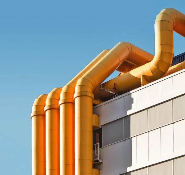
Nafta i gas
Arhitektura i projektovanje objekata
Urbano planiranje i dizajn pametnih gradova
Projektovanje i inženjering puteva i autoputeva
Arheologija i kulturno nasleđe
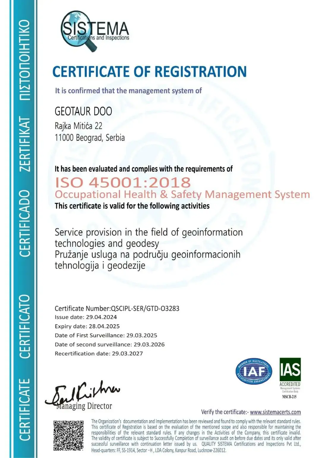
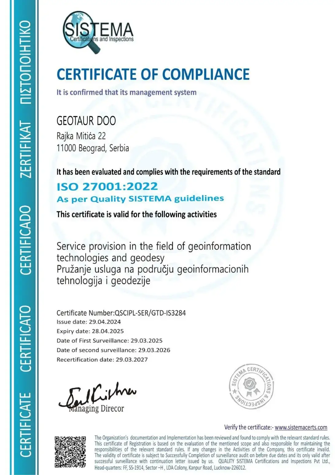
ISO sertifikati
- ISO 9001:2015 – sistem upravljanja kvalitetom
- ISO 14001:2015 – sistem upravljanja zaštitom životne sredine
- ISO 45001:2018 – sistem upravljanja bezbednošću i zdravljem na radu
- ISO/IEC 27001:2022 – sistem upravljanja bezbednošću informacija
PREGLED
Nudimo vrhunske geoprostorne usluge prilagođene potrebama naših klijenata. Naše duboko razumevanje svih izazova i problema koji prate ovu delatnost potiče iz bogatog iskustva stečenog kroz brojne projekte širom sveta. Naš tim je uspešno sarađivao na različitim kontinentima, kreirajući prilagođena rešenja za svaki jedinstveni izazov. Naša posvećenost i stručnost čine nas idealnim partnerom za postizanje izvanrednih rezultata.
Težnja ka postizanju velikih stvari- to je naša glavna vizija.
Hajde da sarađujemo
Mi generišemo rezultate za naše klijente
1
Vizija
∞
Broj ideja
100%
Posvećenost
O KOMPANIJI
Ništa nije komplikovano ako znaš kako da ga podeliš na manje delove
Svaki zadatak je izazov, a svaki izazov nova je prilika da se dokažemo.