Let’s work together!
We are dedicated to providing the highest-quality surveying services for our clients.
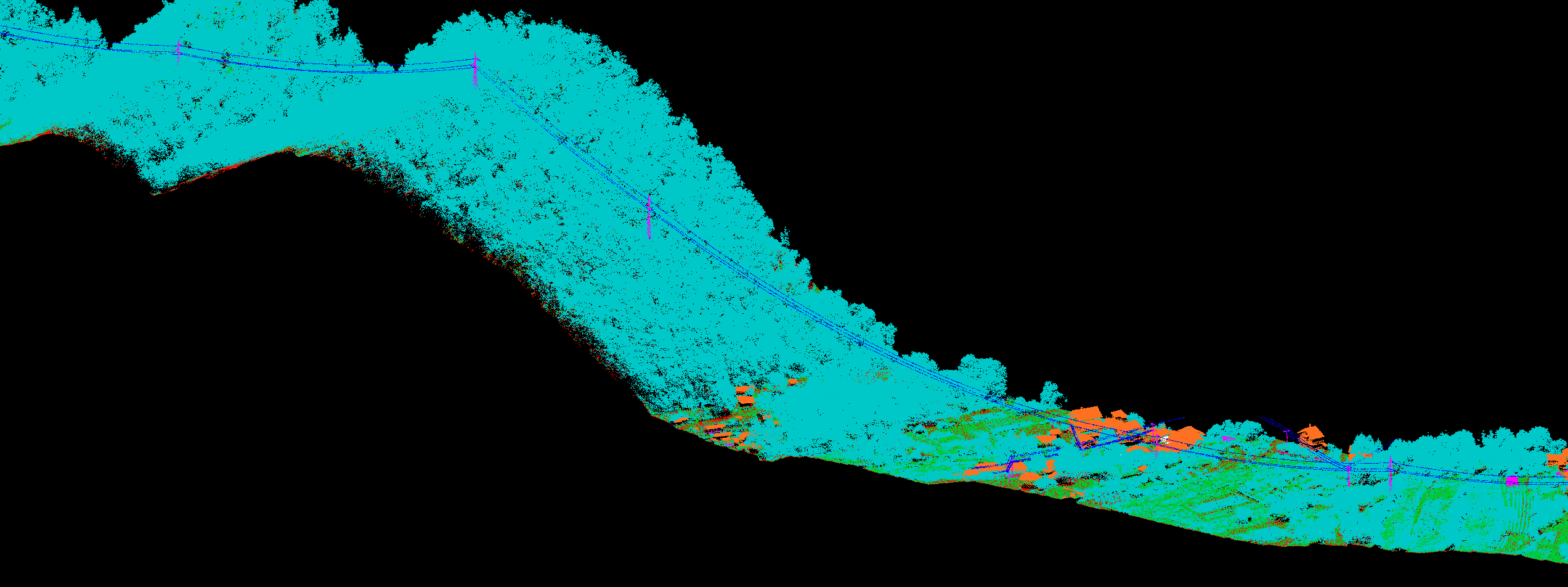
Airborne & Mobile Lidar
GEOTAUR specializes in LiDAR technology, offering comprehensive services for precise spatial data acquisition and processing. Our solutions cater to various applications, including topographical mapping, 3D modeling, Lidar surveys feature extraction and creation of topographic plans all with a focus on speed and accuracy, making us your trusted partner for exceptional results.
GEOTAUR specializes in LiDAR technology, offering comprehensive services for precise spatial data acquisition and processing. Our solutions cater to various applications, including topographical mapping, 3D modeling, Lidar surveys feature extraction and creation of topographic plans all with a focus on speed and accuracy, making us your trusted partner for exceptional results.
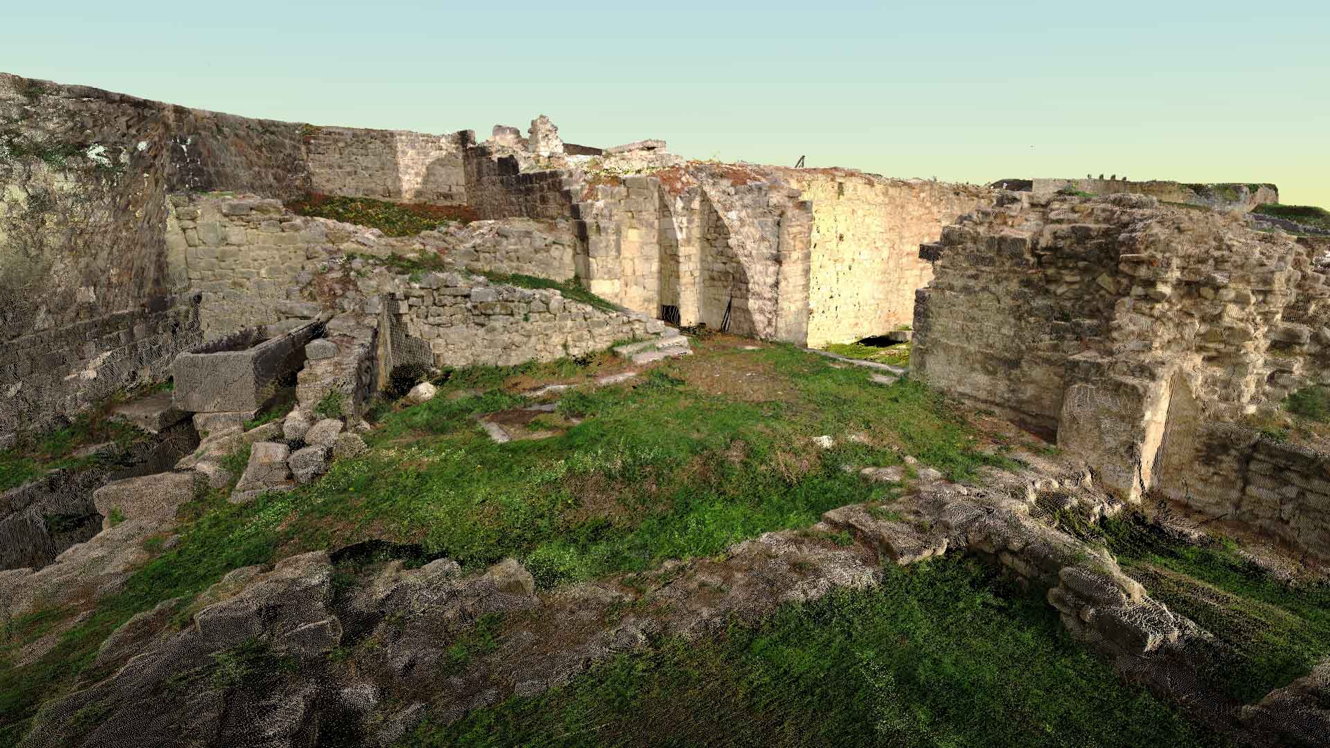
Terrestrial 3D laser Scanning & data processing
GEOTAUR’s Terrestrial 3D Laser Scanning and Data Processing services deliver rapid, cost-effective, and highly detailed 3D models for your project’s specific needs. Our experienced team tailors solutions, ensuring precision and efficiency while saving you time and resources.
GEOTAUR’s Terrestrial 3D Laser Scanning and Data Processing services deliver rapid, cost-effective, and highly detailed 3D models for your project’s specific needs. Our experienced team tailors solutions, ensuring precision and efficiency while saving you time and resources.
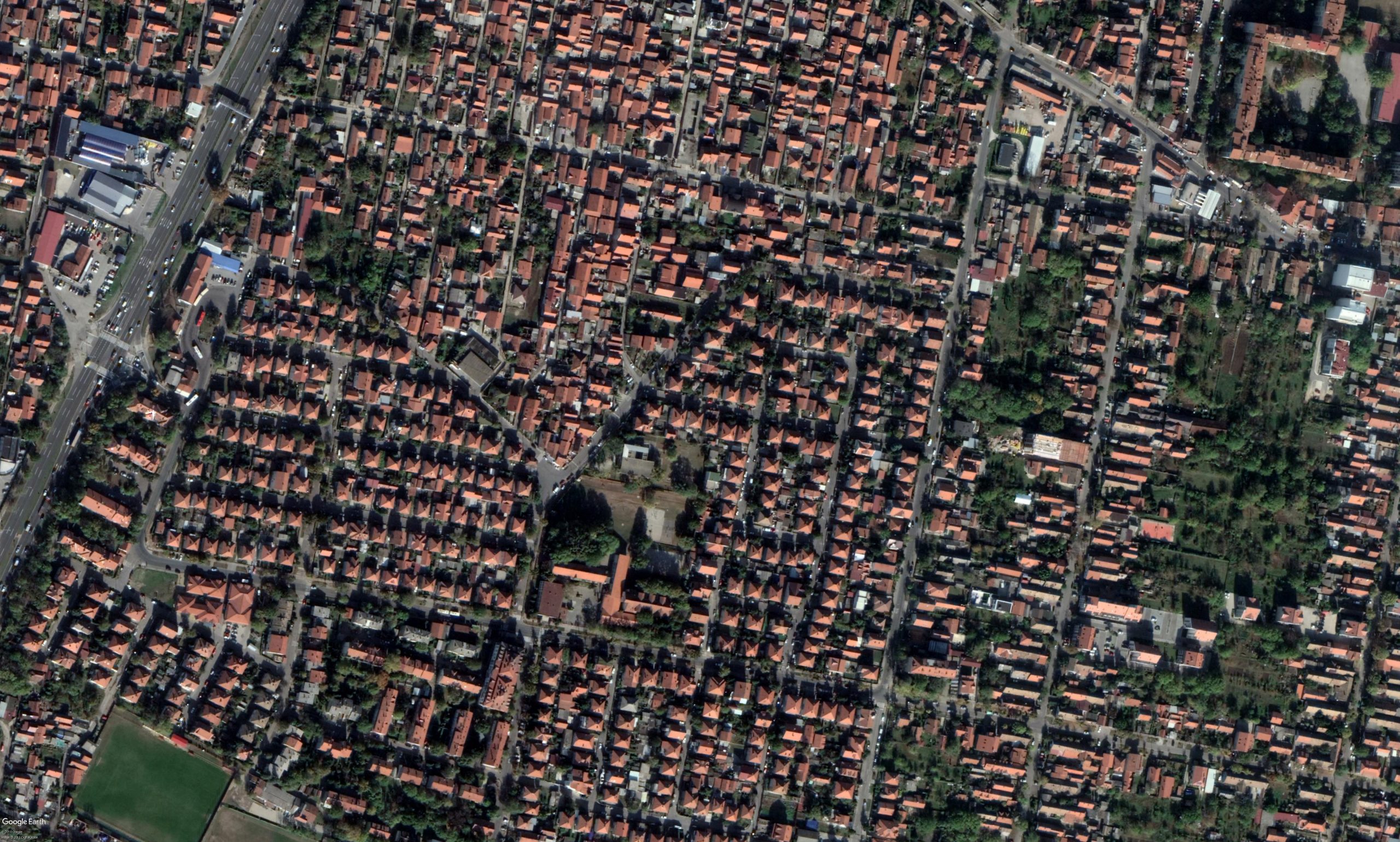
Photogrammetry
GEOTAUR offers advanced photogrammetry services that derive crucial spatial data from digital images. We specialize in three distinct types: close-range for objects, aerial for larger areas, and satellite image processing, providing topographic maps, digital terrain models, orthophotos, and more for various applications.
GEOTAUR offers advanced photogrammetry services that derive crucial spatial data from digital images. We specialize in three distinct types: close-range for objects, aerial for larger areas, and satellite image processing, providing topographic maps, digital terrain models, orthophotos, and more for various applications.
3D Modeling & BIM
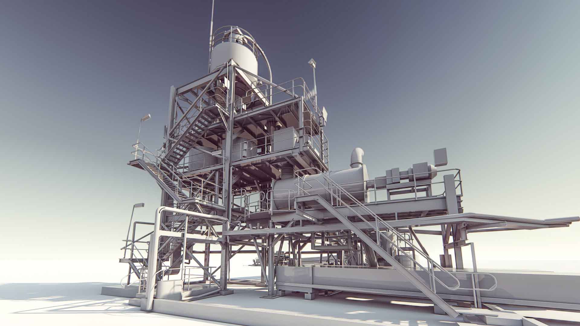
GEOTAUR specializes in 3D Modeling & BIM services, providing tailored BIM 3D models from LOD 100 to LOD 400 for diverse projects. Our comprehensive offerings include 2D to 3D conversions, clash detection, and precise 3D representations, fostering streamlined data management and efficient collaboration across architectural, engineering, and construction teams.
GEOTAUR specializes in 3D Modeling & BIM services, providing tailored BIM 3D models from LOD 100 to LOD 400 for diverse projects. Our comprehensive offerings include 2D to 3D conversions, clash detection, and precise 3D representations, fostering streamlined data management and efficient collaboration across architectural, engineering, and construction teams.
3D Mapping & Topographical Data Analysis
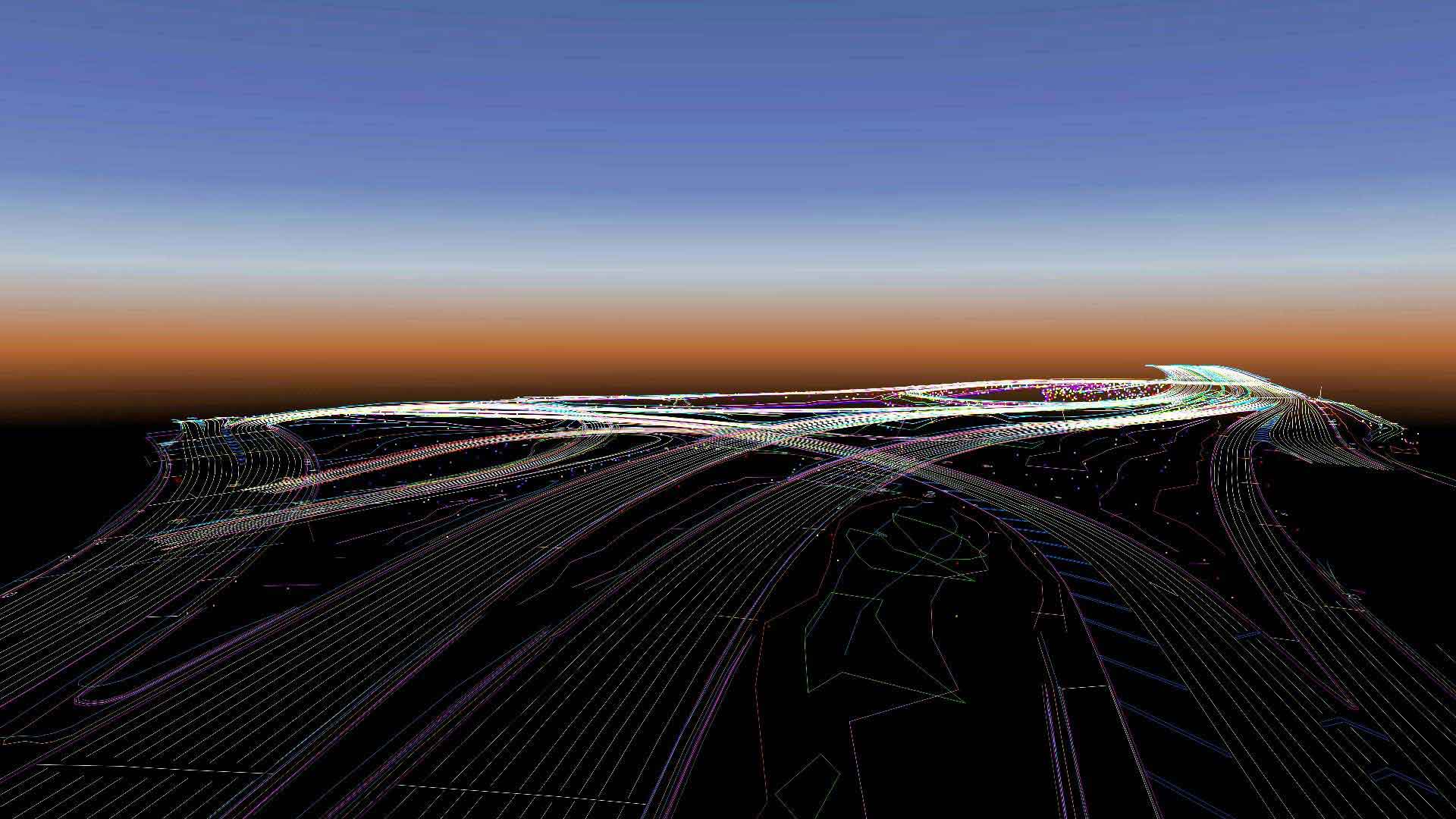
Geotaur stands out in 3D Mapping and Topographical Data Analysis, where we transform extensive survey data into manageable features for diverse industries. With a strong track record our commitment to quality and tailored feature extraction ensures the full potential of your spatial data is realized.
Geotaur stands out in 3D Mapping and Topographical Data Analysis, where we transform extensive survey data into manageable features for diverse industries. With a strong track record our commitment to quality and tailored feature extraction ensures the full potential of your spatial data is realized.
Land surveying
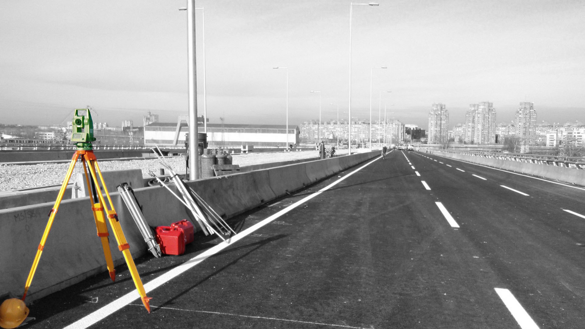
GEOTAUR provides a comprehensive suite of land surveying solutions, encompassing topographical surveying, infrastructure support, deformation monitoring, cadastral surveying, and volumetric surveying. Our expertise ensures precise data acquisition for various project needs, delivering actionable insights and accurate results.
GEOTAUR provides a comprehensive suite of land surveying solutions, encompassing topographical surveying, infrastructure support, deformation monitoring, cadastral surveying, and volumetric surveying. Our expertise ensures precise data acquisition for various project needs, delivering actionable insights and accurate results.
GIS
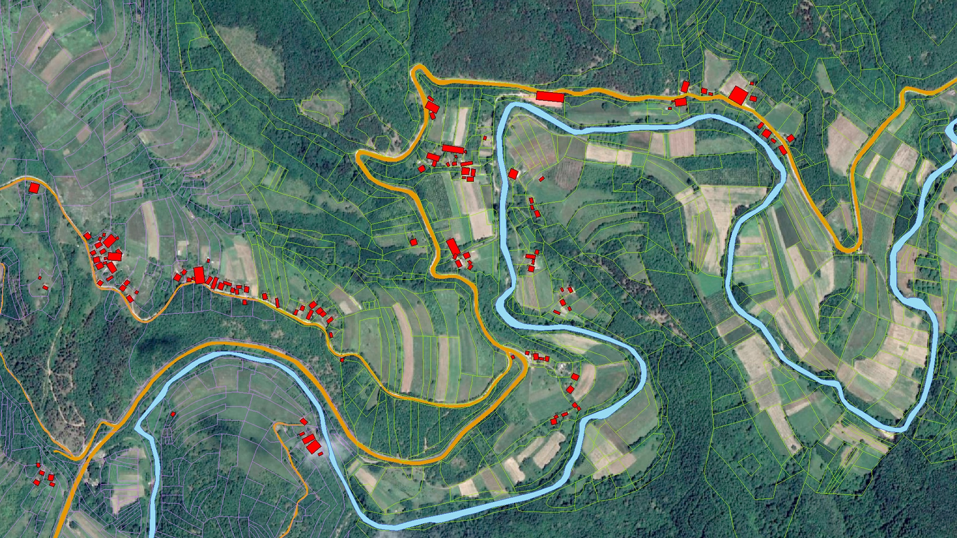
GEOTAUR’s GIS services empower data-driven decision making and efficient project execution through precision and quality. With real time insights, seamless communication, and boundary-free collaboration, we’re reshaping the GIS landscape to drive innovation for your project’s success.
GEOTAUR’s GIS services empower data-driven decision making and efficient project execution through precision and quality. With real time insights, seamless communication, and boundary-free collaboration, we’re reshaping the GIS landscape to drive innovation for your project’s success.
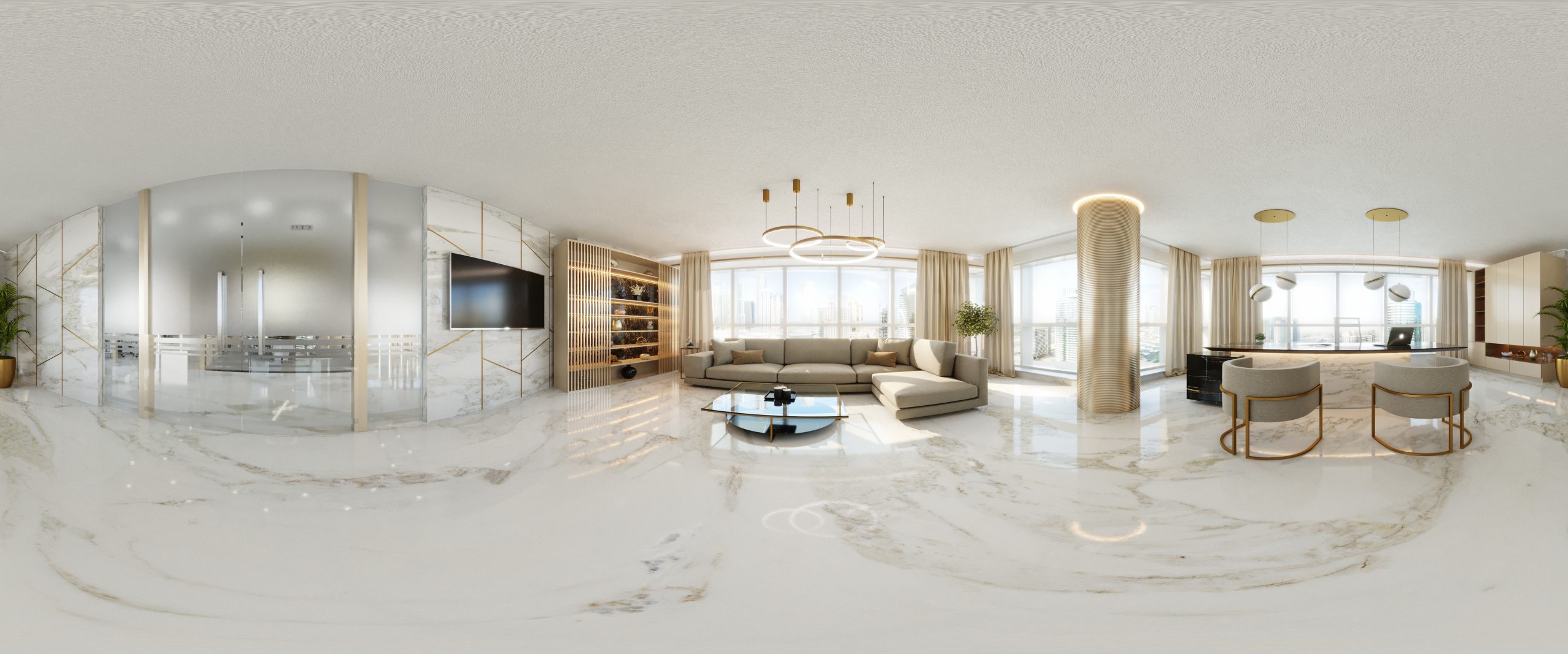
Panoramic imaging & web based point cloud viewer
Many years of experience and work in the field of laser scanning and data processing qualified us to go one step further and we created online platform for panoramic tours, point cloud and 3d models visualization.
Many years of experience and work in the field of laser scanning and data processing qualified us to go one step further and we created online platform for panoramic tours, point cloud and 3d models visualization.
Need some help?
We enjoy professsional challenges and we are confident that we’ll find the best solution for our clients.
