
Our services
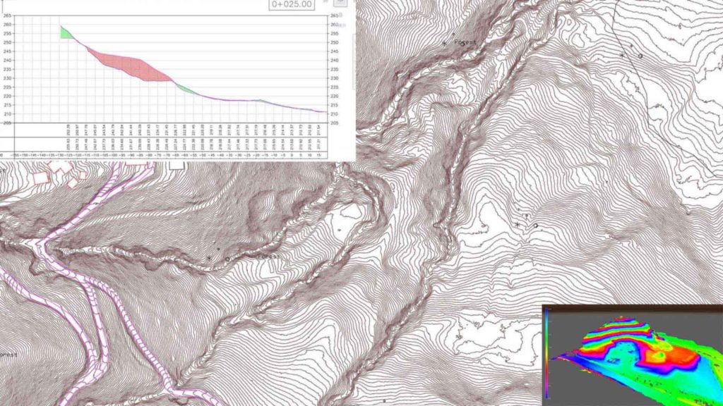
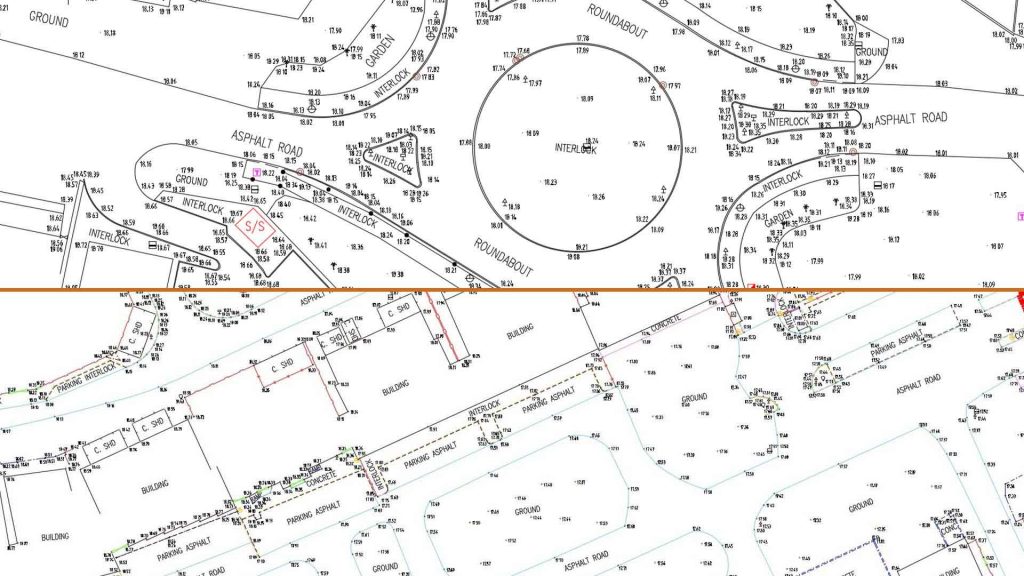
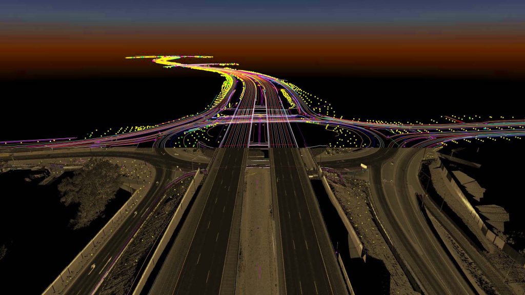
3D Mapping & Topographical data analysis
The extraction of features from airborne and mobile survey systems forms the bedrock of feature-based mapping. Transforming billions of data points into a manageable set of features that resonate with diverse industries is the essence of this field.
At Geotaur, our extensive experience in 3D map production spans a wide range of applications and data sources. We’ve successfully extracted over 5,000 kilometers of rail and road data, and our topographical maps have earned high praise from clients and institutions alike. Our commitment to quality is unwavering, and our rigorous quality controls leave nothing to chance.
3D Maps Production
Harness the power of 3D mapping for a multitude of purposes using data
from various devices and manufacturers.
Feature Extraction
Expertly reduce complex data into recognizable features tailored to your industry’s needs.
Topographical Data Analysis
Gain valuable insights from our topographical data analyses,
backed by our track record of excellence.
Quality Assurance
Rest assured, our meticulous quality controls ensure the accuracy and reliability of our mapping and analysis.


Need some help?
We enjoy professsional challenges and we are confident that we’ll find the best solution for our clients.