Panoramsko snimanje i veb platforma za prikaz point cloud podataka
Naše usluge
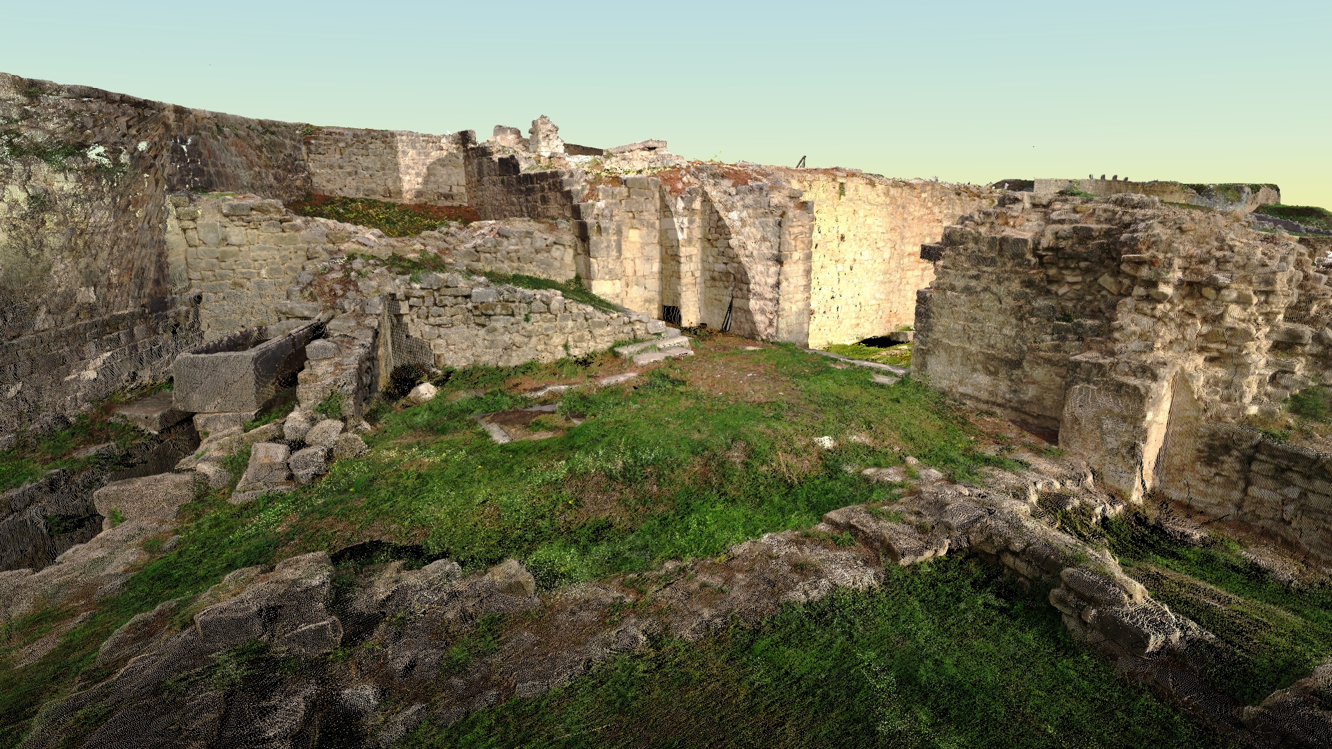
Panoramsko snimanje i veb platforma za prikaz point cloud podataka - PANOTAUR
PanoTaur je vaš osnovni softver za kreiranje virtuelnih tura, pružajući besprekoran način za istraživanje realnih panoramskih prikaza i digitalnih modela.
Bilo da je u pitanju unutrašnji ili spoljašnji prostor, mali ili obimni projekti, naša platforma pomera sve granice. Naš glavni fokus je pružanje vrhunske vizualizacije i integracije panoramskih prikaza.
Kreirajte svoju virtuelnu turu:Napravite sopstvene interaktivne ture jednostavno, koristeći našu platformu prilagođenu korisnicima.
Ili prepustite nama: Naš stručni tim može sve uraditi umesto vas, obezbeđujući upečatljivo iskustvo za vaše klijente i posetioce.
Point cloud, 3D modeli, panorame:Zaronite u svet prostorne analize putem naše onlajn platforme.
Naša veb-bazirana platforma je dizajnirana za point cloud podatke, 3D modele i panoramske slike,nudeći širok spektar mogućnosti za vizualizaciju i analizu.
Oslobodite puni potencijal PANOTAUR-a i unapredite svoju vizuelnu prezentaciju. Saznajte više o našoj platformi posetom zvaničnom PANOTAUR-a‘s sajtu..
Da biste saznali više o našim uslugama, kliknite na dugme „Preuzmi“ i pristupite Geotaur brošuri.
PreuzmiNaše usluge
Ostale usluge
Terestričko lasersko skeniranje i obrada podataka
Tehnologija laserskog skeniranja obezbeđuje brz i isplativ način za dobijanje preciznijih i veoma detaljnih 3D modela potrebnih objekata.
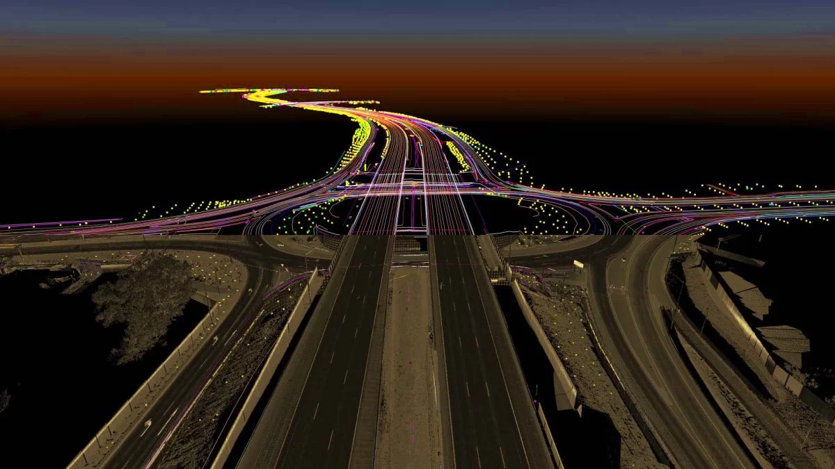
3D Mapiranje i Topografska Analiza Podataka
Geotaur stands out in 3D Mapping and Topographical Data Analysis, where we transform extensive survey data into manageable features for diverse industries.
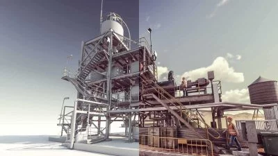
3D modelling & BIM
Koristeći različite vrste softvera, Geotaur može da kreira inteligentne BIM 3D modele sa definisanim nivoom detalja, od LOD 100 do LOD 400.