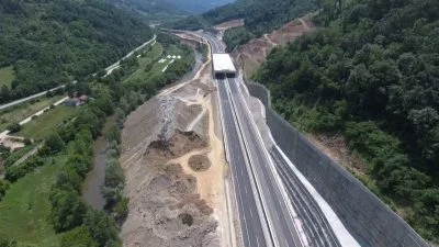
Avio i mobilni LiDAR
Naše usluge
Avio i mobilni LiDAR
U GEOTAURU se ponosimo našim velikim iskustvom u primeni avio i mobilne LiDAR tehnologije. Naše sposobnosti obuhvataju ceo proces rada — od prikupljanja podataka, kontrole kvaliteta i ekstrakcije prostornih entiteta, do prezentacije pažljivo obrađenih prostornih podataka.
Primena podataka avio i mobilnog LiDAR-a
Naša LiDAR rešenja iz vazduha i mobilnih platformi imaju izuzetnu vrednost u različitim oblastima, uključujući:
Topografske karte: Precizni podaci o visinama za tačno topografsko mapiranje.
BIM sistemi: Detaljni 3D podaci za arhitektonske i građevinske primene.
Geografski informacioni sistemi (GIS):Prostorni podaci za sveobuhvatne GIS aplikacije.
Modelovanje objekata i terena:Visokorezolucioni podaci za modelovanje objekata i terena.
Ekološko i urbano planiranje:Podrška održivom urbanom razvoju i procenama uticaja na životnu sredinu.
Šumarstvo:Upravljanje šumskim resursima i ekološke studije.
Avio i mobilna LiDAR tehnologija poznata je po svojoj brzini i tačnosti, što je čini preferiranim izborom za brza i precizna snimanja. Ako želite da iskoristite snagu LiDAR tehnologije za potrebe prostornih podataka, verujte GEOTAURU da će isporučiti vrhunske rezultate.
Da biste saznali više o našim uslugama, kliknite na dugme „Preuzmi“ i pristupite Geotaur brošuri.
PreuzmiNaše usluge
Ostale usluge
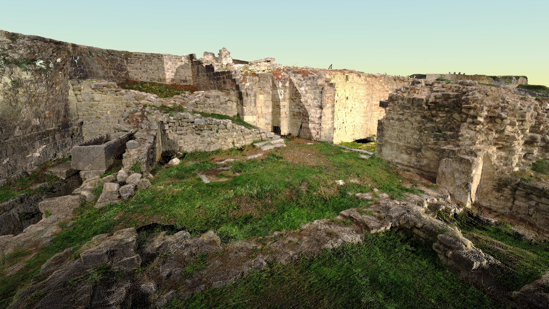
Terestričko lasersko skeniranje i obrada podataka
Tehnologija laserskog skeniranja obezbeđuje brz i isplativ način za dobijanje preciznijih i veoma detaljnih 3D modela potrebnih objekata.
Fotogrametrija
Digitalna fotogrametrija ima za cilj da uspostavi geometrijski odnos između objekta i digitalne slike, izvlačeći ključne prostorne podatke isključivo iz same slike.
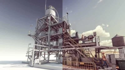
3D modelling & BIM
Koristeći različite vrste softvera, Geotaur može da kreira inteligentne BIM 3D modele sa definisanim nivoom detalja, od LOD 100 do LOD 400.